


I guess I am more old school than I thought. For my needs a garmin nuvi to get me into the general area, a gazetteer (Delorme or Benchmark), a compass for backup and maybe a geology guidebook or two are all I ever use, except for eyes and the feel of the road or trail. Generally I try not to be too dependent on GPS unless I am in a city -- where it is very useful. Different experience and expectations I suppose.
So to answer the OP's first question. GPS will get you into the area -- then it is up to you after that.
Don't get me wrong -- I love maps. A big part of my early professional life was making maps of various types. I have all sorts of maps squirreled away all over in the house and the truck. But there is a time to get eyes off the screen and onto the terrain, in my opinion, anyway.
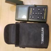
Here is my first GPS unit:
Attached Thumbnails
Edited by AWG_Pics, 03 September 2020 - 01:12 AM.