Another Home Run for the Ski 3-Pins! Special congratulations to The Lady for such a strong return from the wheel recapping exercises of last year.
You know you can always get the attention of a reformed geologist with an awesome photo of a fault or fold. And I like the small area of relatively undisturbed butte in the left-center of the photo. So I suppose the photo was taken from the summit of Galena Peak looking towards Lippincott Rd which appears in the lower right? I'd enjoy doing some Intertubes research on that (those) structures--surely the fault is a named major feature, and the small buttes tllted slightly down to the left are probably in the literature, as well.
Foy
Yup, the photo is from the summit of Galena. In the center of the photo, right along the fault in the vertical strata, is the near mile long straight section of Corridor Canyon, a fascinating spot in DVNP.
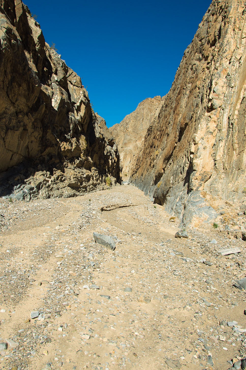
If this is aligned with a fault, this may explain why the rock was more easily eroded, forming this incredible section of canyon.
Here's our visit in November 2014 - Corridor Canyon
and Jim Boone's description of the hike - Corridor Canyon.
Here's the coordinates to take to Google Earth - 36°44.810'N 117°37.006'W
And Foy, thanks for the great commentary!