Big update today! Finally finished integrating the USGS mines place name coordinate database into Western Mining History. You can see the result here:
http://www.westernmininghistory.com/minesmap/
In total there are approximately 30,000 mines in the database. I found a clever Google Maps app that allows thousands of points to be displayed on a single map through a clustering technique. The states with many thousands of points are a bit slow loading and they can break Internet Explorer so please use Firefox to view the maps. There is also a map with all 30k points on one map (slow loading):
http://www.westernmininghistory.com/westernmines/
While most of the mines only contain the basic data contained in the USGS, I will be adding additional info and photos to the mine records on a regular basis. Example of an expanded mine record:
http://www.westernmininghistory.com/mine/7637/
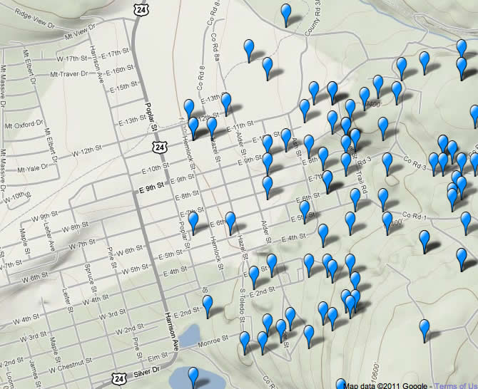
Some of the views on the maps are pretty neat like this one of the town of Leadville with many mines right in town: