Jump to content


Photo
- - - - -

Fall Equinox!


  • Please log in to reply
89 replies to this topic

#61 takesiteasy

takesiteasy

    Senior Member

  • Members
  • 2,588 posts
  • LocationMinnesota

Posted 13 November 2014 - 04:42 AM

...Freezing rain is the worst.  <_< 


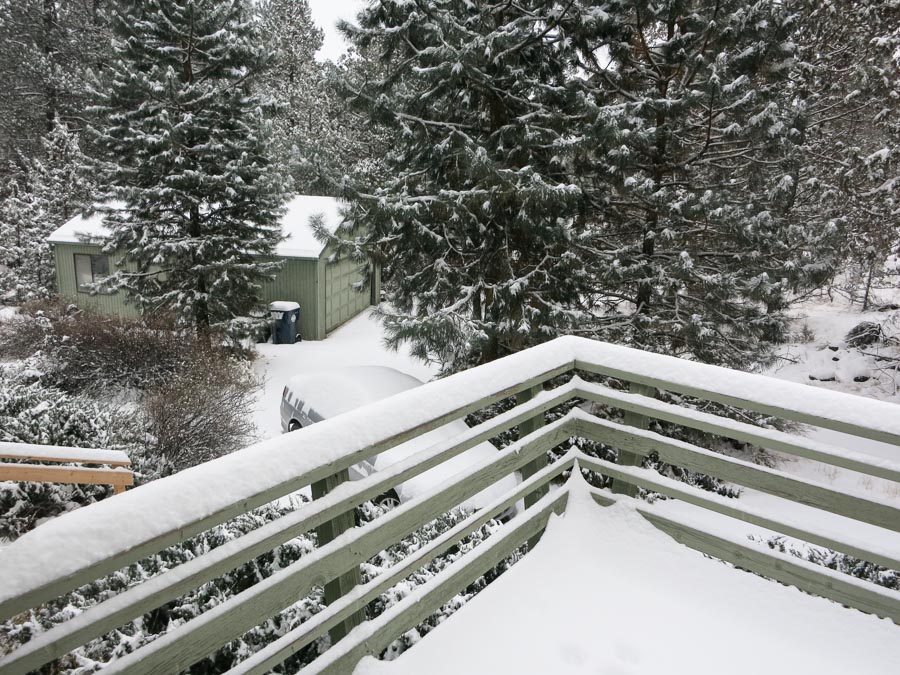
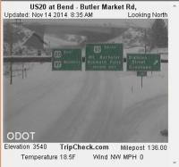
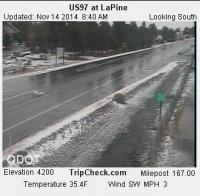
I agree! We got some of that out of the last storm that went through here- freezing rain and then snow- the worst. Roads and sidewalks are in terrible shape because of it. I hope we get a warm up soon or this stuff will be with us all winter. The current forecast calls for single digit lows for the next week or so and highs in the teens to twenties. Not good for melting ice. :(


Edited by takesiteasy, 13 November 2014 - 04:43 AM.

  • 0
2011 Tacoma AC TRD
ATC Custom Shell

travelswithrockythedog.blogspot.com

#62 MarkBC

MarkBC

    The Weatherman

  • Site Team
  • 6,602 posts
  • LocationBend, Oregon

Posted 13 November 2014 - 03:32 PM

Well, (light) freezing rain is still a possibility in the forecast for later today, but so far this morning it's snowing, and we have about 5 inches so far:


First-snow-1.jpg


It's just 15° at my house at 7:30 a.m., but a significant warm-up is forecast for later today as Pacific air moves in.


  • 0

FWC Hawk (2005) on a Ford F250 Supercab, 6.8L V10 gas (2000)


#63 Wandering Sagebrush

Wandering Sagebrush

    Free Range Human

  • Site Team
  • 10,596 posts
  • LocationNortheast Oregon

Posted 13 November 2014 - 04:10 PM

A bit of freezing rain here in Canby, or as we euphemistically refer to it, a Silver Thaw. I'm going to stay hunkered down, get fatter and lazier, and not out driving.
  • 0

I am haunted by waters


#64 MarkBC

MarkBC

    The Weatherman

  • Site Team
  • 6,602 posts
  • LocationBend, Oregon

Posted 13 November 2014 - 04:13 PM

A bit of freezing rain here in Canby, or as we euphemistically refer to it, a Silver Thaw...


That "silver thaw" name -- I've heard it myself -- MUST have been coined by Chamber of Commerce, Tourist Board types...to make the worst form of weather there is sound like a magical beautiful event! :D


  • 0

FWC Hawk (2005) on a Ford F250 Supercab, 6.8L V10 gas (2000)


#65 Wandering Sagebrush

Wandering Sagebrush

    Free Range Human

  • Site Team
  • 10,596 posts
  • LocationNortheast Oregon

Posted 13 November 2014 - 05:49 PM

It's actually starting to thaw here.   I looked out at a camilla bush, and saw a small ice drop that was caught by a spider web, and spinning in the wind like a little diamond.  Interesting.


Already longing for those bluebird days...


15597188000_44790dc2f9_c.jpg


Edited by Wandering Sagebrush, 13 November 2014 - 07:16 PM.

  • 0

I am haunted by waters


#66 craig333

craig333

    Riley's Human

  • Members
  • 8,023 posts
  • LocationSacramento

Posted 14 November 2014 - 12:14 AM

Some light rain today. 70's forecast for the weekend. Its good to live in the Golden State (weatherwise at least).


  • 0

Craig K6JGV_________________________ 2004 2500 CTD 4X4 FWC HAWK 1960 CJ5


#67 MarkBC

MarkBC

    The Weatherman

  • Site Team
  • 6,602 posts
  • LocationBend, Oregon

Posted 14 November 2014 - 06:46 PM

Well, the freezing rain -- aka, "silver thaw" -- hit Bend early evening yesterday and continued past midnight. Pretty awful -- bad enough that I cancelled a planned evening activity and stayed home. My (freshly-installed) studded snow tires might keep me moving and stopping properly, but the ice can glaze the windows beyond the defroster's/wipers capacity to keep it clear.  Don't like driving blind. :o

My car in the driveway is glazed with ice.  Woke up to less snow but new snow...


We're still in a yucky temperature inversion in Bend this morning, down in the upper teens with frozen roads and still snowing while higher elevations, just 30 miles to the south, are above freezing with just-wet roads.


ODOT cams from a couple hours ago, showing the difference:

ODOT_Bend_20141114-1.jpg  ODOT_LaPine_20141114-1.jpg


I'm driving to southwest Oregon this afternoon (non-camping trip), so I'm glad to see roads are better in that direction.


  • 0

FWC Hawk (2005) on a Ford F250 Supercab, 6.8L V10 gas (2000)


#68 craig333

craig333

    Riley's Human

  • Members
  • 8,023 posts
  • LocationSacramento

Posted 14 November 2014 - 08:00 PM

Its not just your vehicle that needs to stop and start. Really ruin your day to have someone slide into you. Glad we don't have any of that.


  • 0

Craig K6JGV_________________________ 2004 2500 CTD 4X4 FWC HAWK 1960 CJ5


#69 ski3pin

ski3pin

    Belay On

  • Site Team
  • 15,346 posts
  • LocationSierra Nevada Range

Posted 02 December 2014 - 01:44 AM

Storm Coming along with flash flood watch for our new large burn area -


Winter Storm Warning
URGENT - WINTER WEATHER MESSAGE
NATIONAL WEATHER SERVICE SACRAMENTO CA
1235 PM PST MON DEC 1 2014

CAZ068-069-021400-
/O.UPG.KSTO.WS.A.0007.141202T1800Z-141204T1200Z/
/O.NEW.KSTO.WS.W.0009.141202T2000Z-141204T1200Z/
WESTERN PLUMAS COUNTY/LASSEN PARK-
WEST SLOPE NORTHERN SIERRA NEVADA-
1235 PM PST MON DEC 1 2014

...WINTER STORM WARNING IN EFFECT FROM NOON TUESDAY TO 4 AM PST
THURSDAY ABOVE 7000 FEET...

THE NATIONAL WEATHER SERVICE IN SACRAMENTO HAS ISSUED A WINTER
STORM WARNING ABOVE 7000 FEET FOR HEAVY SNOW...WHICH IS IN EFFECT
FROM NOON TUESDAY TO 4 AM PST THURSDAY. THE WINTER STORM WATCH IS
NO LONGER IN EFFECT.

* IMPACTS: TRAVELERS MAY EXPERIENCE DELAYS. CHAIN RESTRICTIONS
  LIKELY THROUGH THE PASSES.

* CONFIDENCE: HIGH.

* TIMING: A STRONG WINTER STORM WILL BEGIN TO AFFECT THE REGION
  TUESDAY AND WILL CONTINUE INTO THURSDAY. THE PERIOD OF
  HEAVIEST SNOWFALL IS EXPECTED TUESDAY NIGHT AND WEDNESDAY.

* LOCATIONS INCLUDE: DONNER PASS...ECHO SUMMIT...CARSON PASS.

* SNOW ACCUMULATIONS: 12 TO 18 INCHES WITH 2 TO 3 FEET OVER THE
  HIGHER PEAKS.
Flash Flood Watch
FLOOD WATCH...DELAYED
NATIONAL WEATHER SERVICE SACRAMENTO CA
320 PM PST MON DEC 1 2014

CAC017-109-021400-
/O.CON.KSTO.FF.A.0002.141202T1800Z-141204T1200Z/
/00000.0.DM.000000T0000Z.000000T0000Z.000000T0000Z.OO/
EL DORADO-TUOLUMNE-
320 PM PST MON DEC 1 2014

...FLASH FLOOD WATCH REMAINS IN EFFECT FROM TUESDAY MORNING
THROUGH LATE WEDNESDAY NIGHT FOR THE AREAS BURN SCARS INCLUDING
THE KING AND RIM BURN AREAS...

THE FLASH FLOOD WATCH CONTINUES FOR

* FLASH FLASH FLOOD WATCH FOR THE BURN AREAS IN PLACER...EL
  DORADO...AND TUOLUMNE COUNTIES. THESE INCLUDE THE KING AND RIM
  BURN SCARS.

* FROM TUESDAY MORNING THROUGH LATE WEDNESDAY NIGHT

* FLASH FLOODS AND DEBRIS FLOWS WILL BE A PARTICULAR THREAT IN AND
  BELOW THE KING AND RIM FIRE BURN AREAS. RAINFALL RATES COULD
  EXCEED ONE HALF INCH PER HOUR AT TIMES DURING THE STORM. THE
  SEVERELY BURNED AREAS WILL BE OF PARTICULAR CONCERN. THESE AREAS
  NO LONGER ABSORB ANY RAINFALL...LEADING TO ENHANCED RUNOFF.
  THOSE TRAVELING ALONG AND NEAR THESE BURN AREAS SHOULD BE ALERT
  FOR POSSIBLE ROAD PROBLEMS DUE TO FLOODING...ROCK...AND DEBRIS
  FLOWS.

PRECAUTIONARY/PREPAREDNESS ACTIONS...

THIS COULD QUICKLY BECOME A DANGEROUS SITUATION. HUNTERS...
RESIDENTS...AND PERSONS TRAVELING WITHIN THE KING AND RIM BURN
AREAS SHOULD REMAIN ALERT AND TAKE ACTION SHOULD HEAVY RAIN
DEVELOP.

A FLASH FLOOD WATCH FOR A BURN AREA MEANS THAT CONDITIONS MAY
DEVELOP THAT LEAD TO FLASH FLOODS...ROCKSLIDES...AND/OR DEBRIS
FLOWS.


  • 0

2003 Ford Ranger FX4 Level II 2013 ATC Bobcat SE "And in the end, it's not the years in your life that count. It's the life in your years."- Abraham Lincoln  http://ski3pin.blogspot.com/


#70 takesiteasy

takesiteasy

    Senior Member

  • Members
  • 2,588 posts
  • LocationMinnesota

Posted 02 December 2014 - 02:38 AM

Snowfall sounds good, heavy rain in burn areas sounds bad. I hope things go ok- I know you need moisture. It's a shame it can't come in a more manageable fashion.


  • 0
2011 Tacoma AC TRD
ATC Custom Shell

travelswithrockythedog.blogspot.com


0 user(s) are reading this topic

0 members, 0 guests, 0 anonymous users