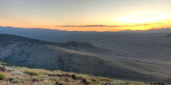
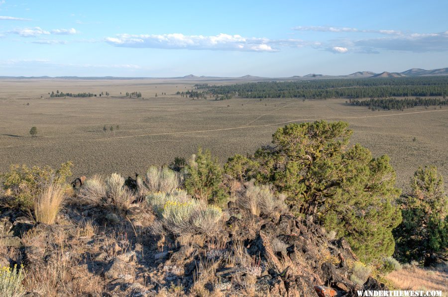
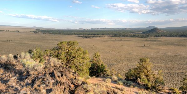
Here's a link to the full-size, rotatable, "post-sunset" pano.


The Weatherman
Posted 16 August 2011 - 09:45 PM
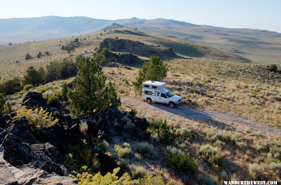
FWC Hawk (2005) on a Ford F250 Supercab, 6.8L V10 gas (2000)
Senior Member

Posted 16 August 2011 - 11:00 PM
Weekend warrior
Posted 17 August 2011 - 01:42 AM
2021 RAM 3500 Crew 4x4, 6.4 hemi/8 speed trans with 4.10 gears, Timber Grove bags, Falken Wildpeak 35" tires.
OEV Aluma 6.75 flatbed, Bundutec Odyssey camper on order for 2024
For this year we're still using our 2008 FWC Hawk with victron DC-DC charger, 130w solar, MPPT controler
with 2000w inverter and external 120v output and 12v solar input with 100w portable solar. http://lighthawkphoto.com
Retreaded
Posted 17 August 2011 - 05:32 AM
'99 Ford Ranger XLT, '08 FWC Eagle
-------------
“the clearest way into the Universe is through a forest wilderness.” - John Muir
The Weatherman
Posted 17 August 2011 - 05:50 AM

FWC Hawk (2005) on a Ford F250 Supercab, 6.8L V10 gas (2000)
The Weatherman
Posted 17 August 2011 - 09:13 PM

FWC Hawk (2005) on a Ford F250 Supercab, 6.8L V10 gas (2000)
The Weatherman
Posted 17 August 2011 - 10:14 PM
 :
:
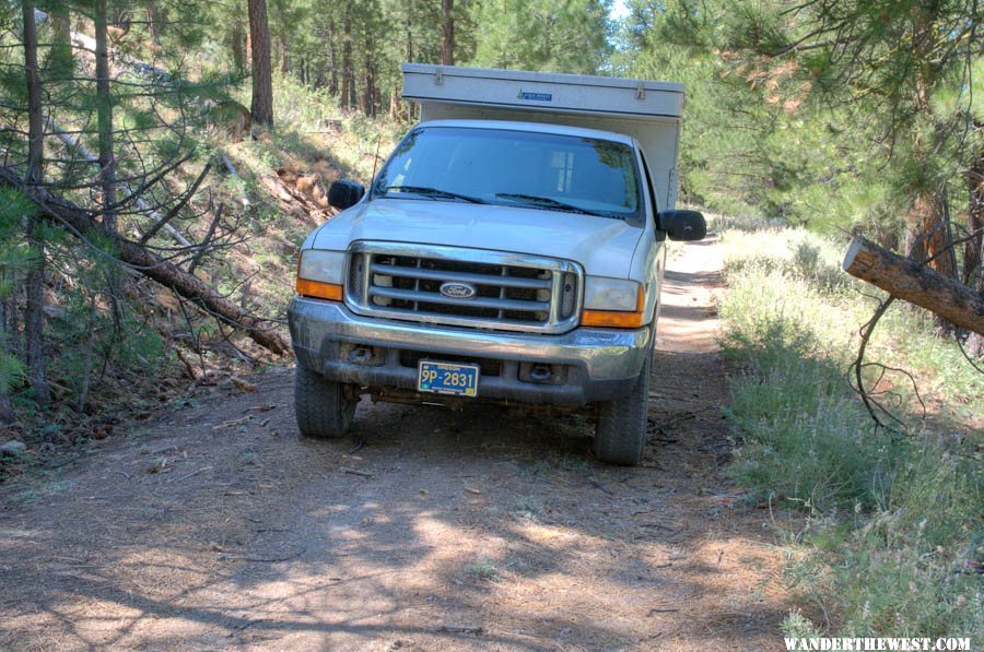

 Maybe there's another means of disposal? Anyone know? I guess I could call the FS if I wanted to know.
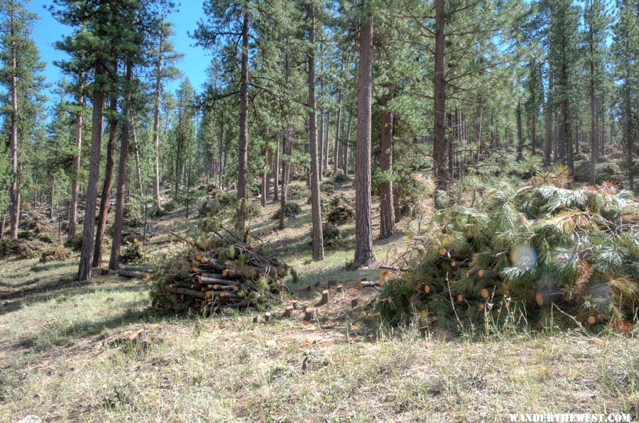
FWC Hawk (2005) on a Ford F250 Supercab, 6.8L V10 gas (2000)
The Weatherman
Posted 17 August 2011 - 11:00 PM
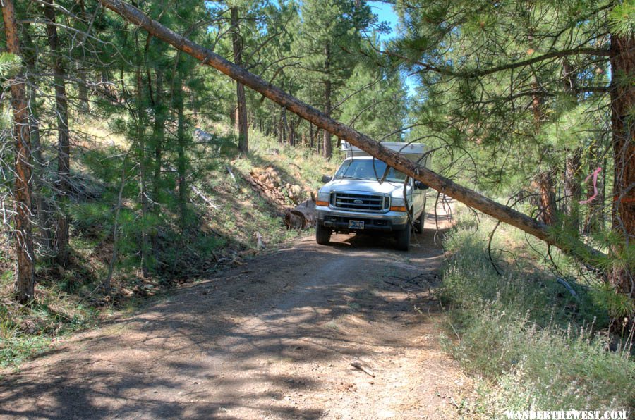
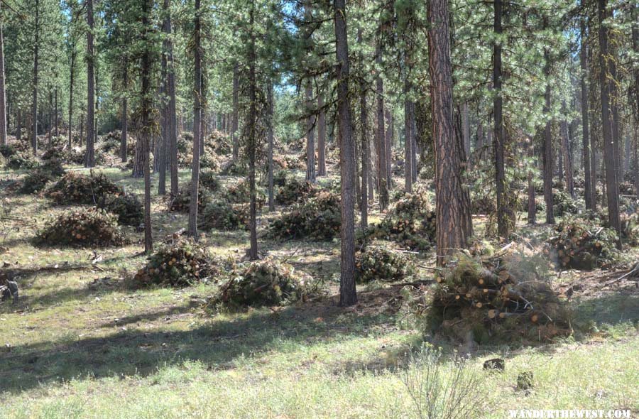
 ...so I decided to forget about camping up there. I figured that if I camped up there I'd have to get up very early since they'd probably be back very early -- I'd seen those dust-trails at 6am. And I didn't want to hassle with being in their way or be blocked in and not be able to leave...didn't want to have a bunch of pissed-off guys glaring at me, waiting for the lazy non-worker to get out of their way.
 FWC Hawk (2005) on a Ford F250 Supercab, 6.8L V10 gas (2000)
The Weatherman
Posted 17 August 2011 - 11:19 PM
I sure hope they appreciate the sacrifice that those salmon are making.  ...
... 
FWC Hawk (2005) on a Ford F250 Supercab, 6.8L V10 gas (2000)
The Weatherman
Posted 17 August 2011 - 11:44 PM
 :
:
FWC Hawk (2005) on a Ford F250 Supercab, 6.8L V10 gas (2000)


0 members, 0 guests, 0 anonymous users

